| NWS forecast for any "City, St" or Zipcode | |
Current Conditions
Forecasts
Satellite Imagery
Radar Imagery
Winter Wx
Fire Weather
Long Range Outlooks
Other
Kentucky Climate
Climatology
Pests/Disease
Ag/Wx Calculators
Hydrology Info.
Other UKAWC Sites
Severe Wx
Tropical Wx
Kentucky Ag Wx
Drought
National Wx
International Wx
Learning About Wx
About UKAWC
Sun, Moon & Planets UKAWC Home
 |
Kentucky Weather Data |
Home| Current Conditions| Forecasts| Satellite| Radar| Media| Outlooks| Drought| Severe| Tropical Wx| Winter Wx| Climatology| Calc| Fire| NWS| Historical| About Us| Spring Ag-Update| Glance| GlanceClim
Understanding the 2012-13 Winter Outlook

The question on everyone's mind seems to be what is going to happen this winter.
Will it be mild or is the Arctic coming down for a visit? Are we going to see an
extension to this year of drought or will we actually see quite a bit of snow? You
may have not noticed, but forecasts have wavered a bit this year as we have
progressed through the fall season. The latest winter outlook calls for near normal
temperatures and above normal rainfall. As a meteorologist, this year has been a bit
puzzling when it comes to determining at a general sense, what the winter will bring
us this year. Usually there are common signals that we can look toward that can help
point us toward the right forecast.
One of these is ENSO or the El Niño-Southern Oscillation. In a basic sense, a
forecaster is looking at how warm or cool sea surface temperatures are in the
equatorial Pacific Ocean. This will help give an indication of how the jet stream
is expected to evolve in upcoming months. Above normal temperatures depict that a
period of El-Niño conditions is anticipated and this is exactly what numbers were
pointing at earlier this fall. What does this mean for our region? When El Niño is
present; climatologically, the state of Kentucky tends to witness dry winters. After
a very dry season in which we experienced the worst drought we have seen since the late 80's,
a strong El Niño pattern is definitely one we wouldn't want to see going into next
planting season. Fortunately, this oscillation has become less significant over the
past 2 months. The above normal readings are starting to subside and are now leaning
toward a neutral year. This would indicate that the state has an equal chance of
seeing above, below, or near normal precipitation and temperature patterns, but just
like any other weather event; you cannot rely on only one source of information.
Another major resource of insight is that of the climate prediction models. These
are basically used to visualize the behavior of the atmosphere in the extended
future. Just as stated earlier, a meteorologist wants to use multiple sources of
information or in this case, models, to generate the best forecast. In comparing
models, a forecaster is looking for agreement between them. Nothing much can be
drawn upon if three different models have three different outcomes, but a conclusion
could be generated if all three showed the same result. The Climate Prediction
Center (CPC) is one organization that analyzes these trends and generates a number of
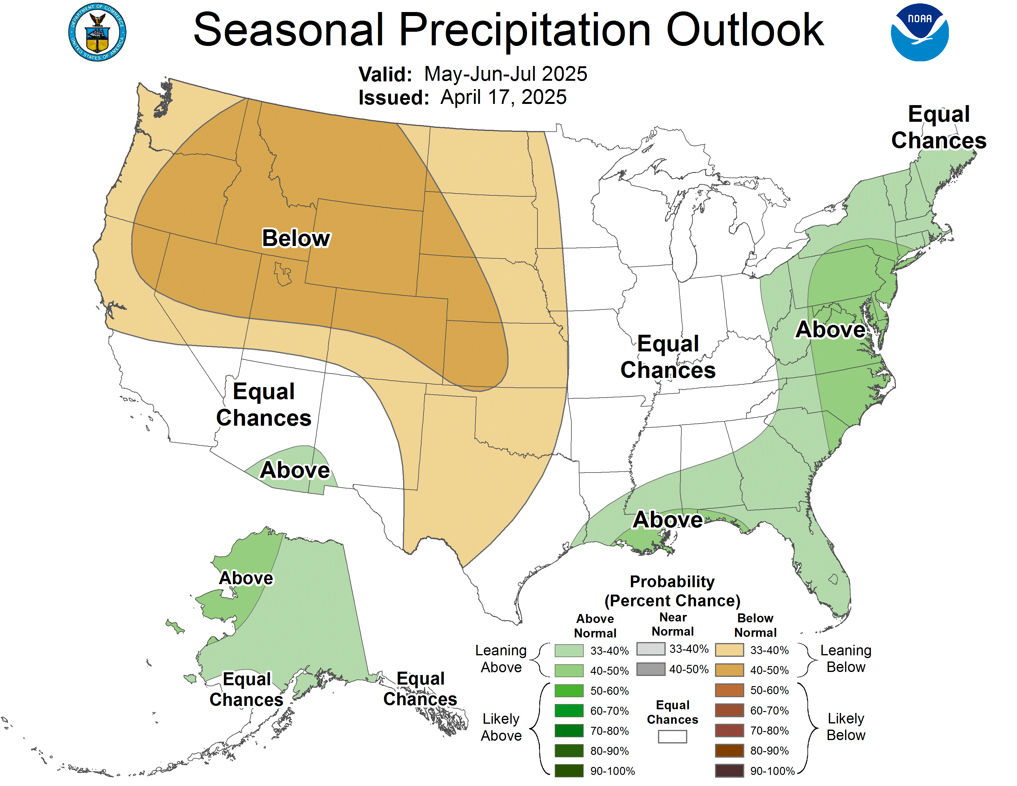
products. Just recently, the CPC has come out with their latest 3 month outlook for
the months of December, January, and February. Making use of their own Climate
Forecast System, in addition to other factors, including the ENSO oscillation and
other models, agreement is made that our region should see above normal precipitation
this winter.
So in conclusion, what can be said about the upcoming winter? Coupling the above 2
sources of information, the Commonwealth may very well be in for a wet winter. We
cannot say exactly whether "wet" means rain or snow, but rather that above normal
precipitation is probable. Just in the case of weather in general and especially
here in the Ohio Valley, the weather can change in an instant. Just like the past 2
months; models and the ENSO oscillation can always change. It will be up to the
short-range models, observed conditions, and other oscillation patterns to bring
things more in perspective as we move into the winter season. The above normal rainfall
would be particularly beneficial to Kentucky's agricultural sector. 4 of the past
5 years have been dry across the state. Above normal precipitation could add much needed
moisture deeper in the ground as we head into next planting season.
You can always look at
the UK Ag weather synopsis here, for more information on the near future weather
conditions.