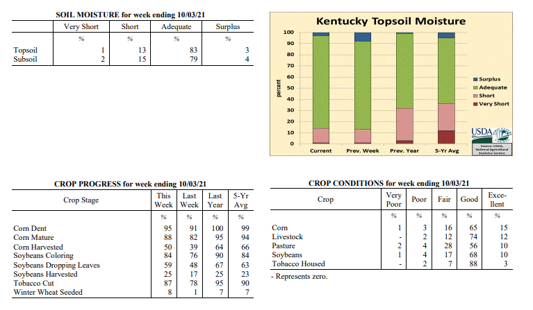
 |
Spring Ag. Update |
Go To MRCC To Check Out The Fall Ag. Update...click HERE!
The purpose of the web site is to summarize the latest information and
comments from Kentucky agricultural specialists concerning the impact frost and
freezing temperatures would have on Kentucky agriculture as Spring progresses.
Updates will occur on Monday and Friday.
Next Update is: None until Fall 2013
Frost/Freeze Summary:
Tom Priddy at (859)-257-3000 x 245 or Matt Dixon at x 244
Small Grains (including wheat and barley) :
Dr Herbek: (859)-257-9503 x 205
Large Grains (corn)(Corn Degree Day Calculator):
Dr. Chad Lee: (859)-338-5500
(04-03-2013) - Dr. Lee indicated that very little corn has been planted due to cool and wet soils. Maybe a few 1000 ac. have
been planted in southern Kentucky counties. Too early for headlines!
Horticulture, Fruit Trees, Home Gardening:
Dr. John Strang: (859)-257-5685
(04/04/2013) - According to Dr. Strang... peaches, pears and apples blossoms are starting to
open up this week. Headlines needed!
State FSA Office:
Mr. Bob Finch: (859)-224-7696
Note to Specialists: if possible please email me your comments on Sunday(s)...and many thanks!
...or [mp3].
Maps and Information
Kentucky Spring Freeze Info
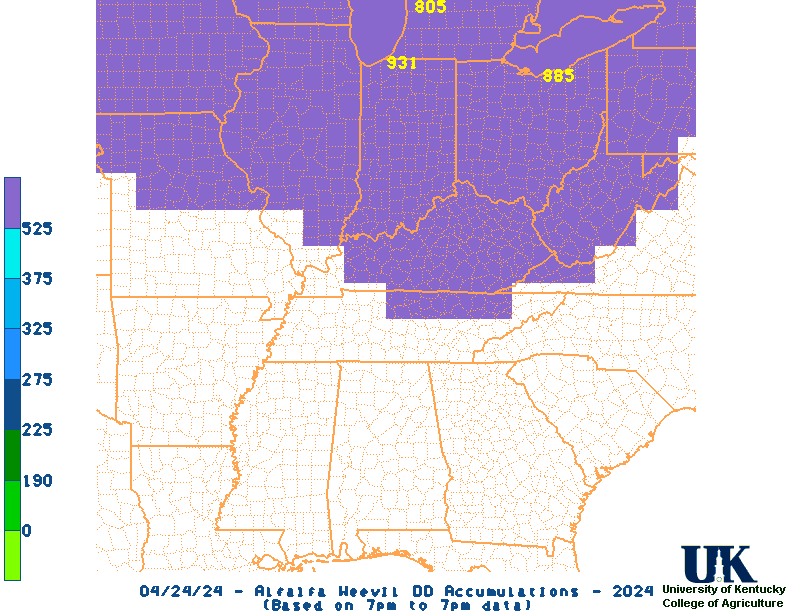
Alfalfa Weevil Degree Days
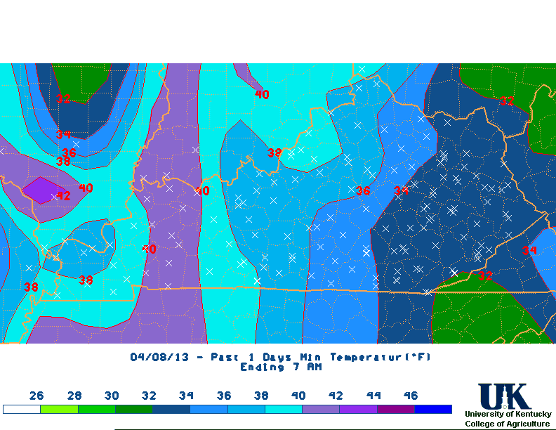
This AM. low temps
Last 3 Days Extreme low temps
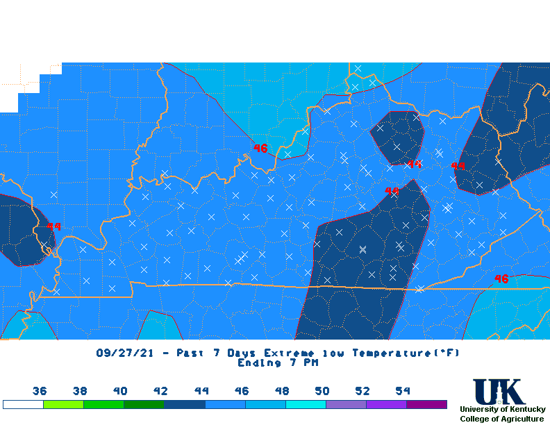
Last 7 Days Extreme low temps
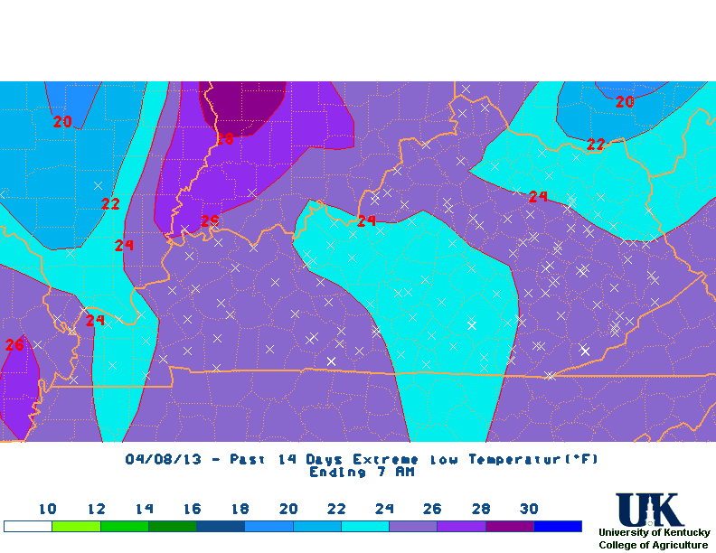
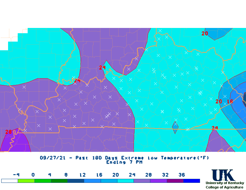
Last 14 Days Extreme low temps
Click here for Alfalfa Weevil Degree Days (Base 48). When 190 AWDD's accumulate, UK Extension Entomologists recommend that producers start checking alfalfa fields for weevile egg hatch. Alfalfa weevil degree day totals for this year for NWS weather stations are available here. County by county estimates are available here. Click here for further information concerning alfalfa weevil growth and development. Click here for Kentucky's average frost/freeze dates.
Paducah NWS: 270-744-6440, Louisville NWS: 502-969-8842, Jackson NWS: 606-666-2560
Charleston NWS: 304-746-0180, Wilmington NWS: 937-383-0031
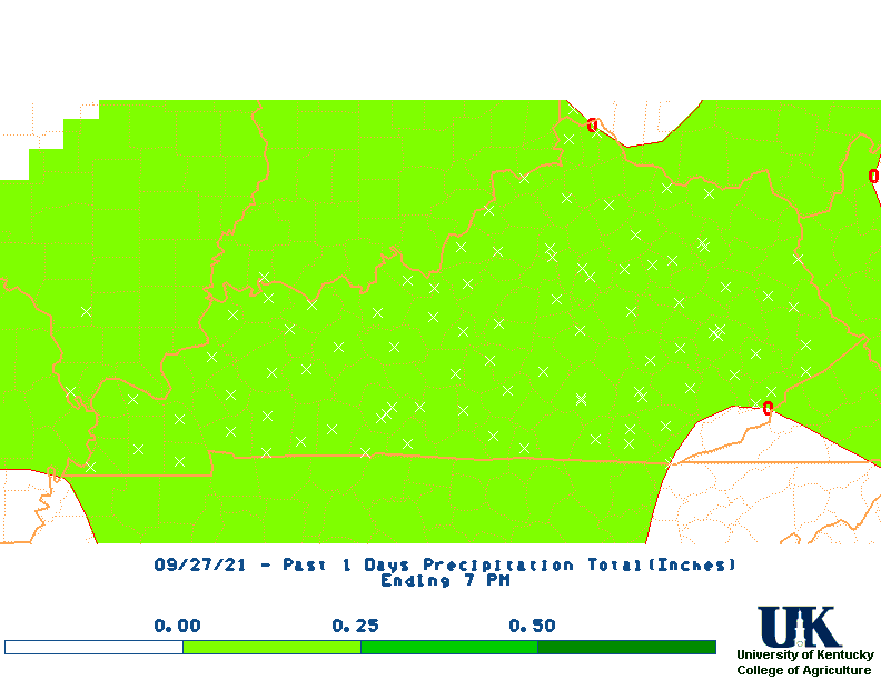
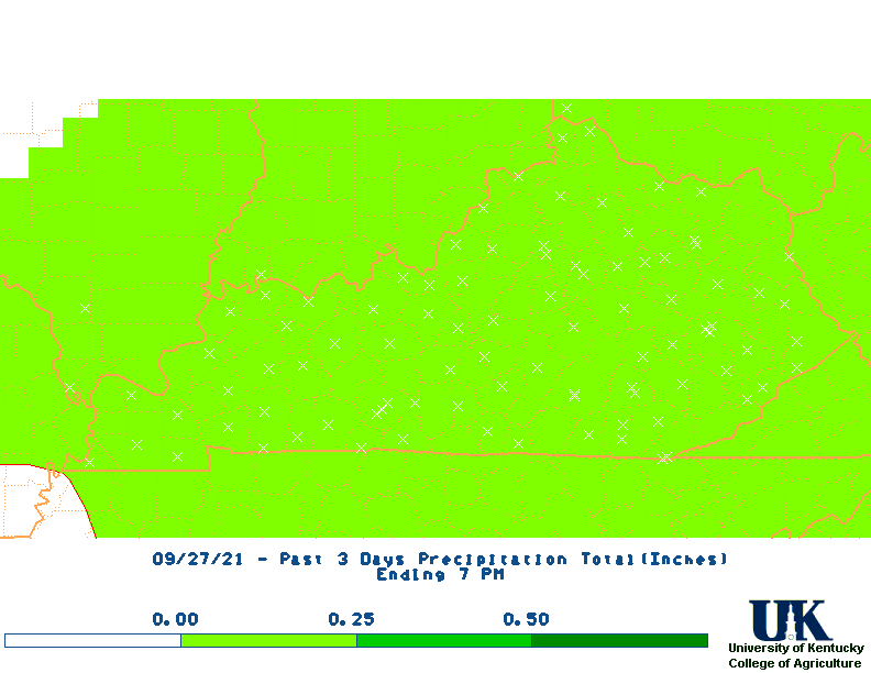
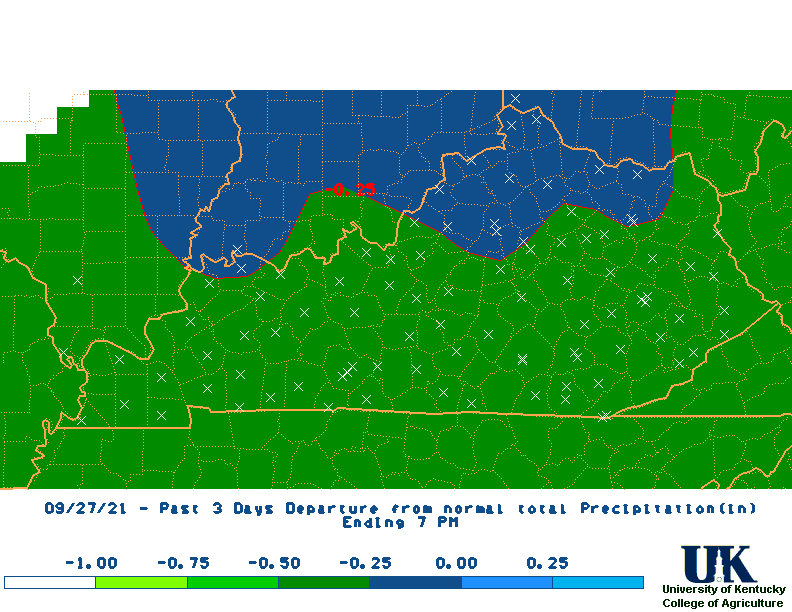
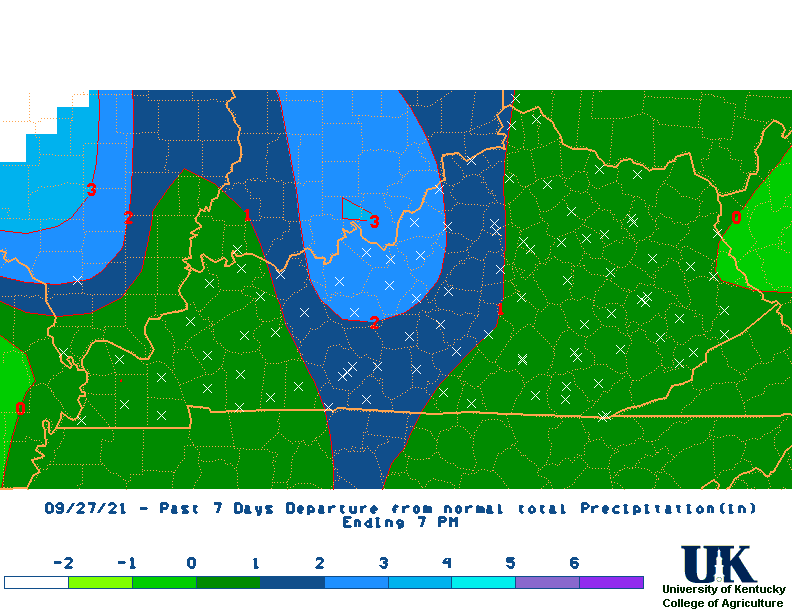
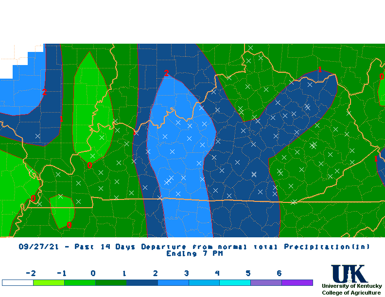
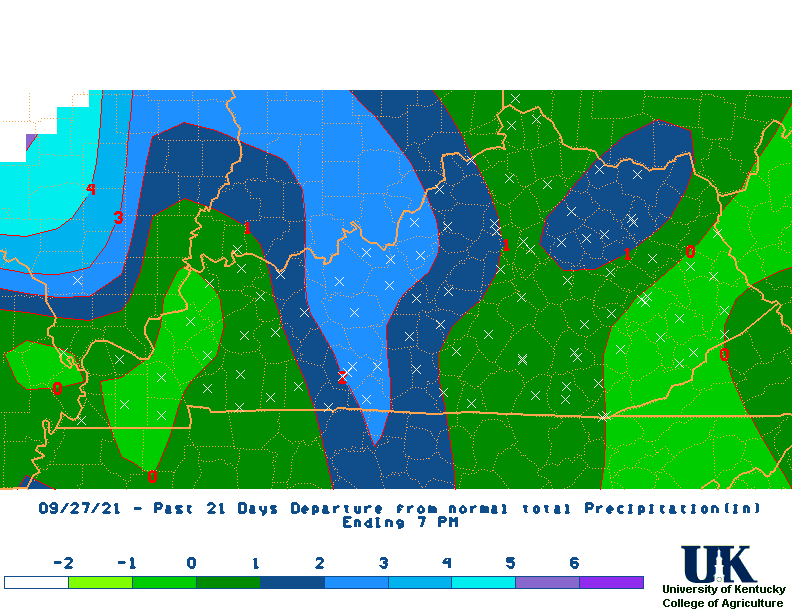
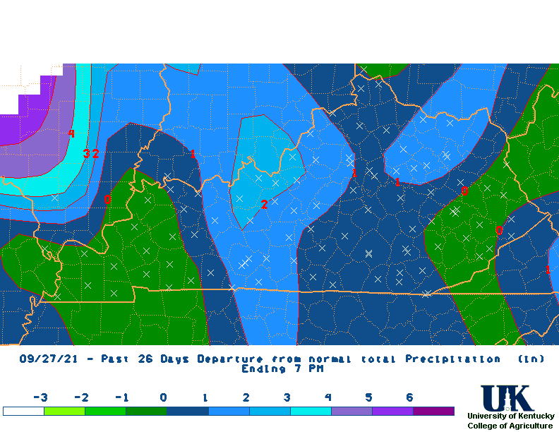
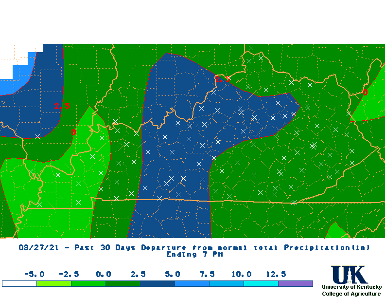
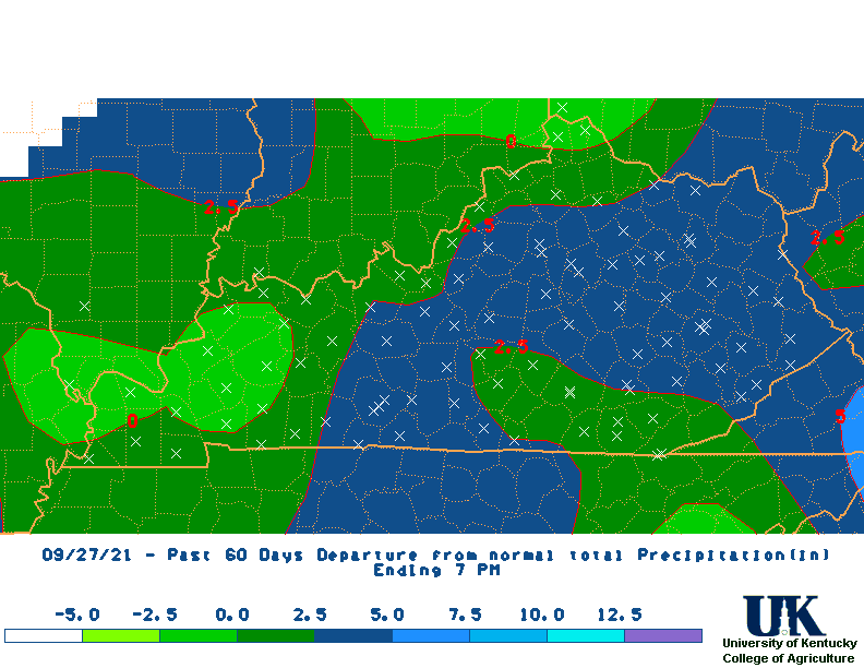
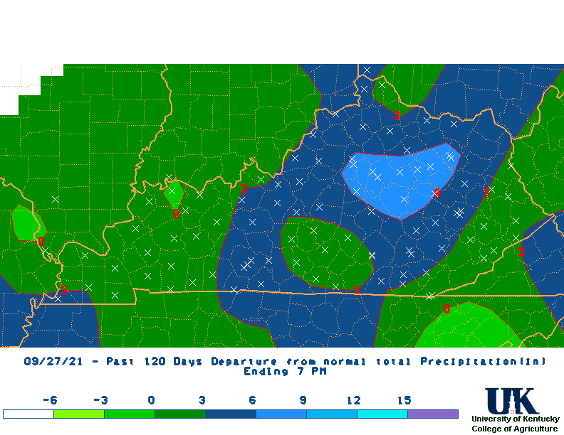
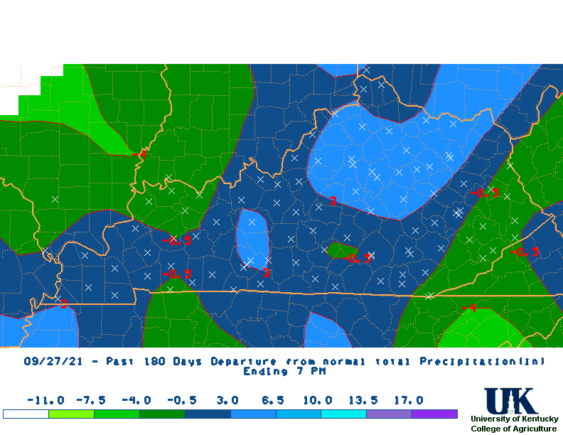
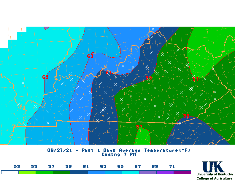
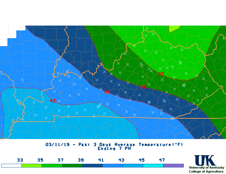
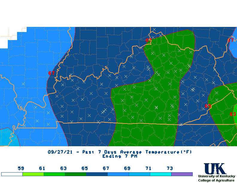
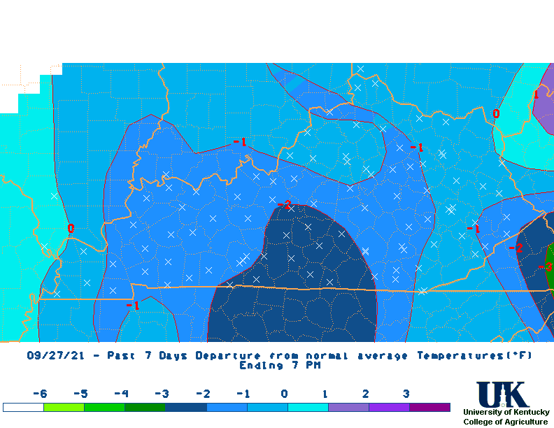
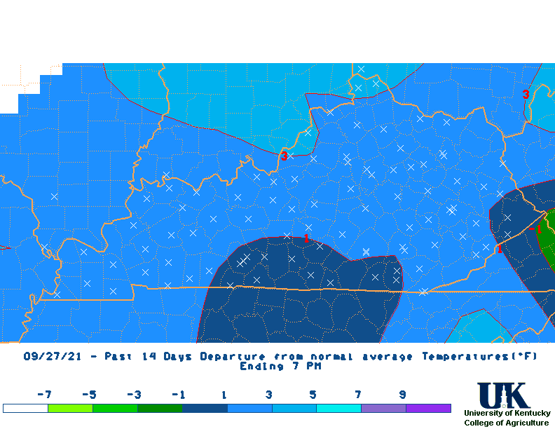
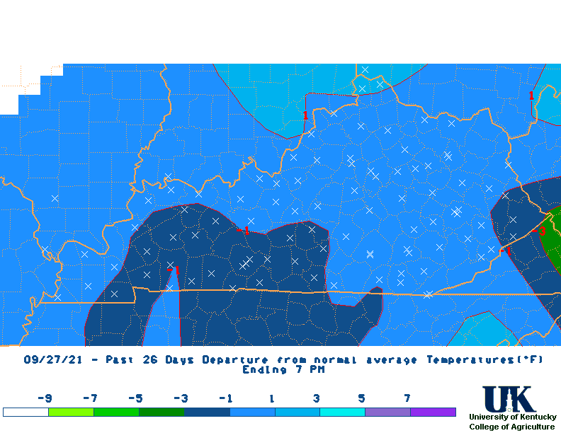
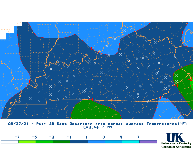
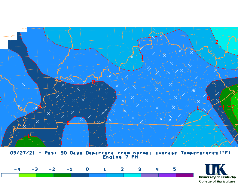
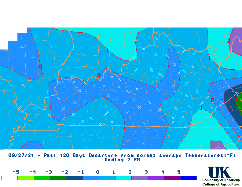
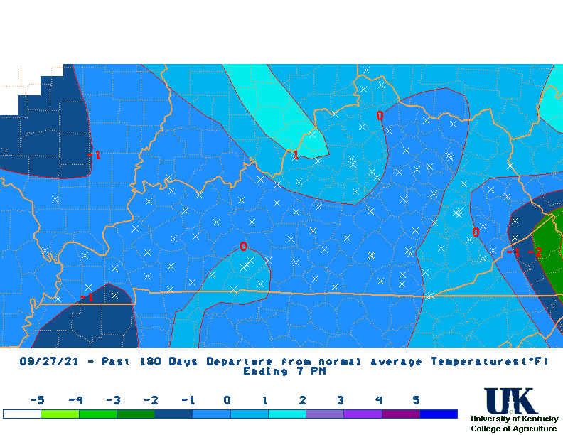
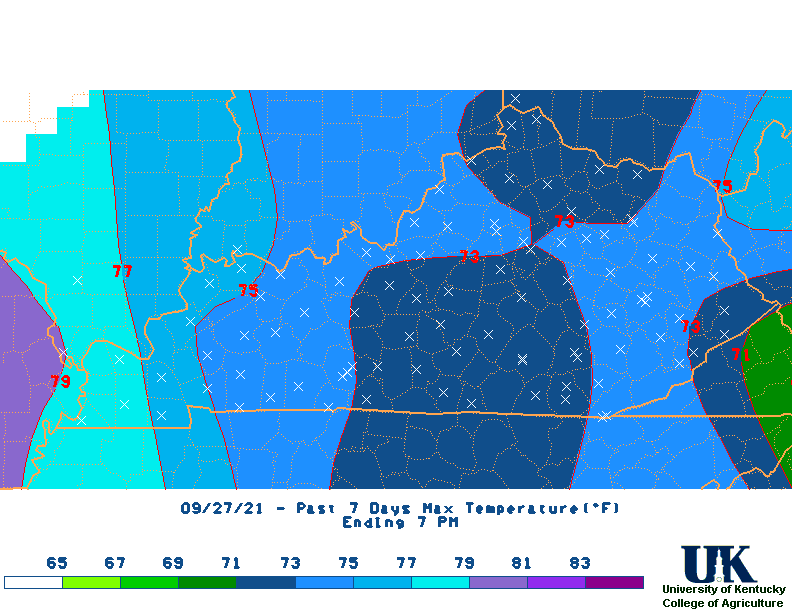
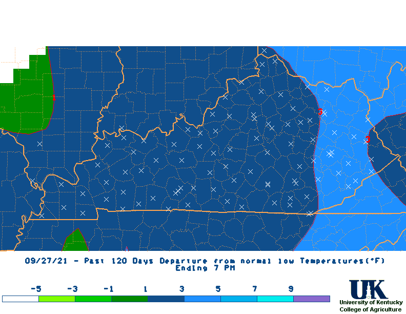
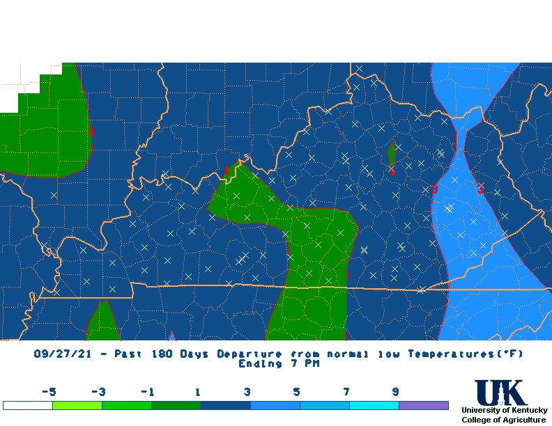
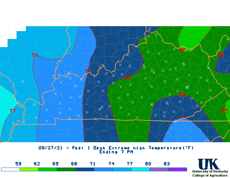
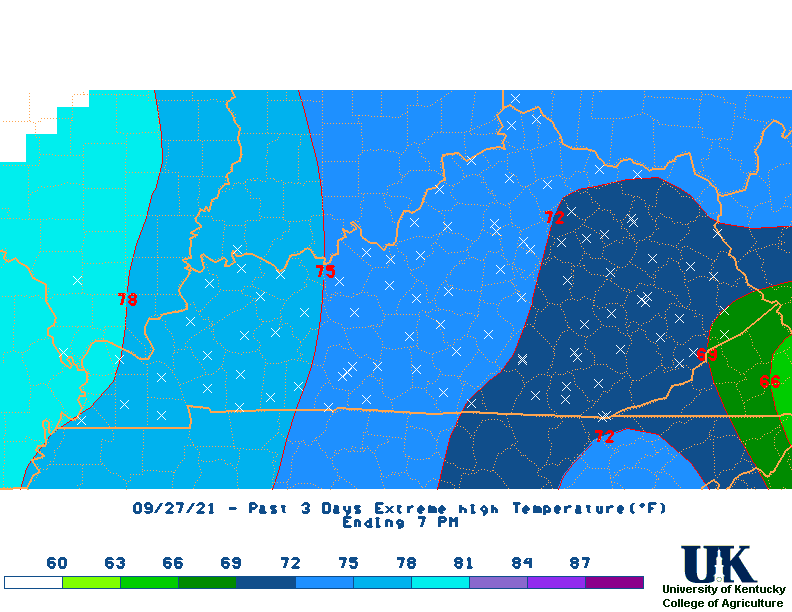
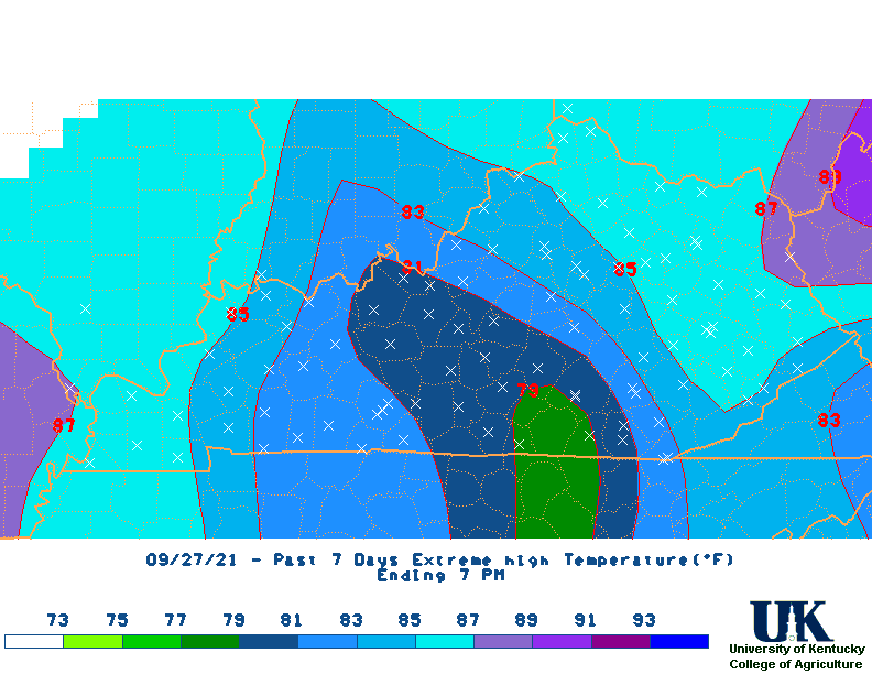
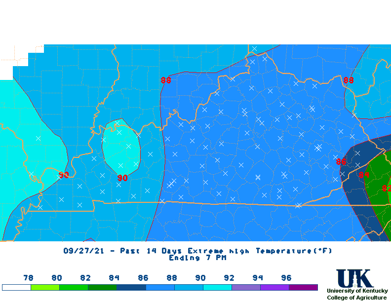
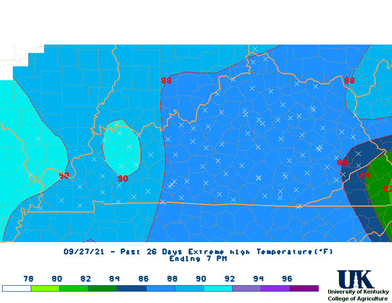
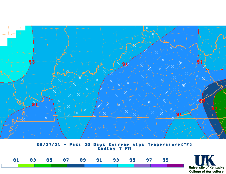
Past 7 Days Data for Selected Locations: Kentucky Climate Maps & Narratives (NWS 1st Order + Coop + Kentucky Mesonet Stations, 24 Hour Period, 7 PM to 7 PM):
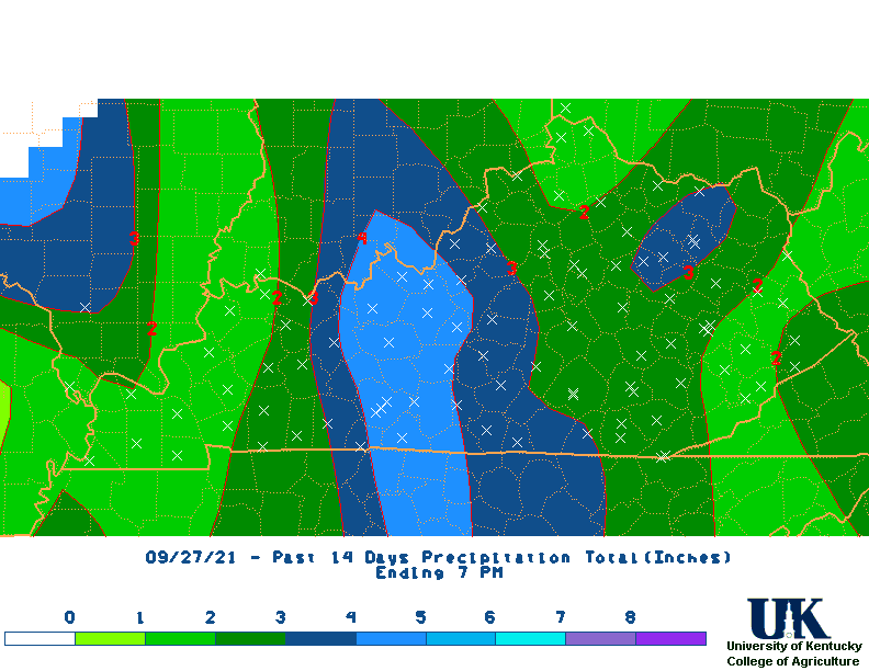
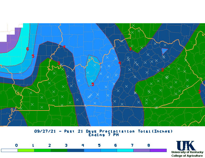
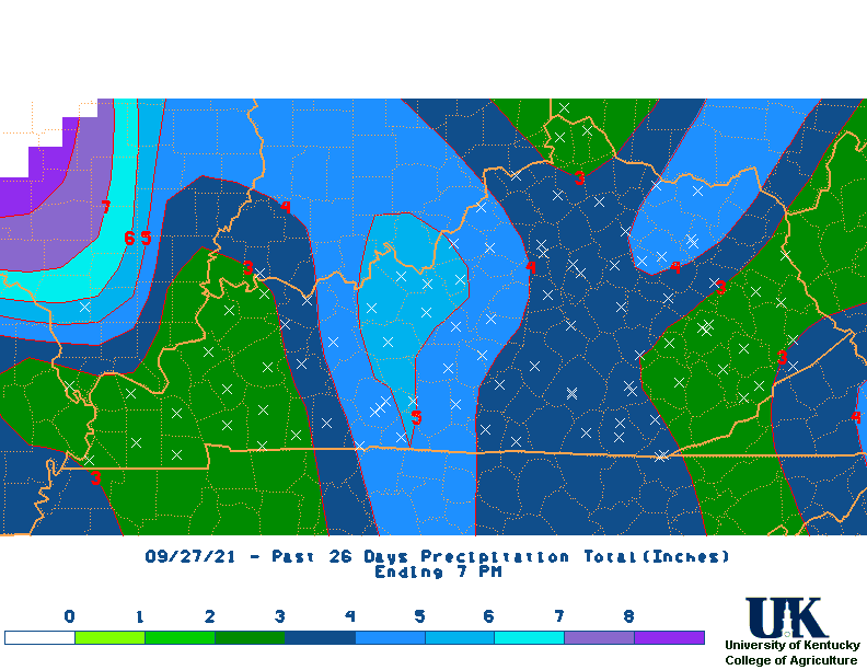
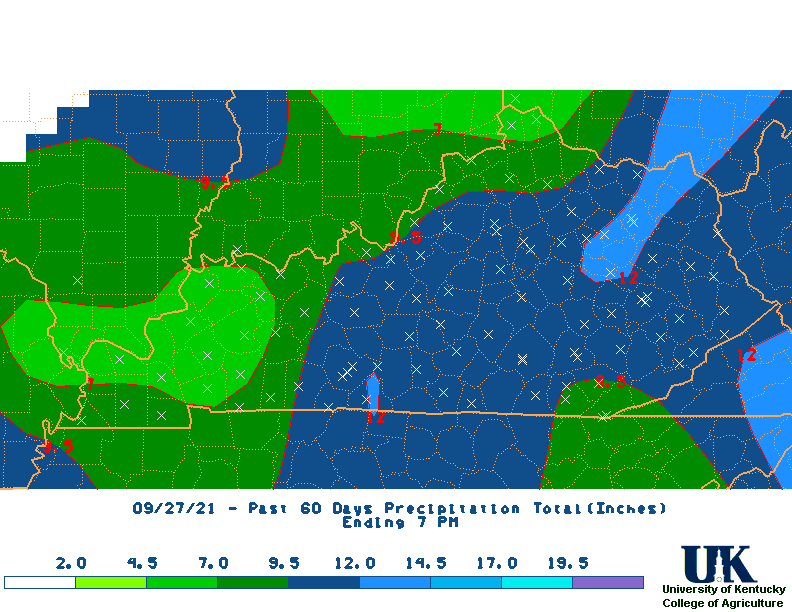
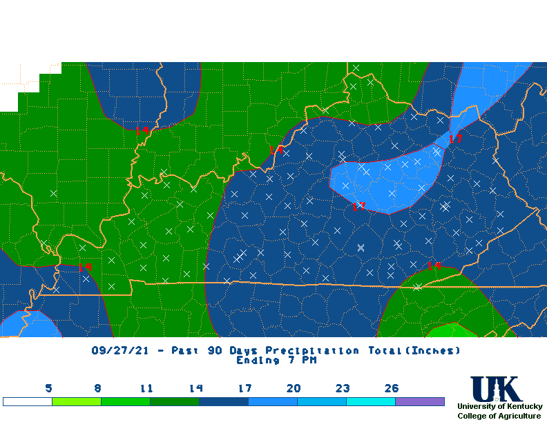
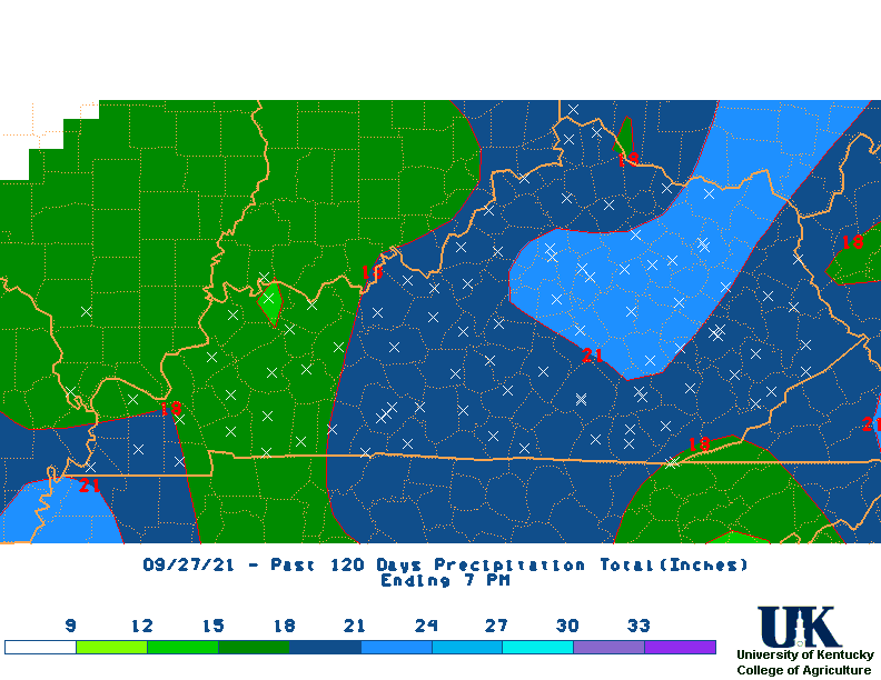
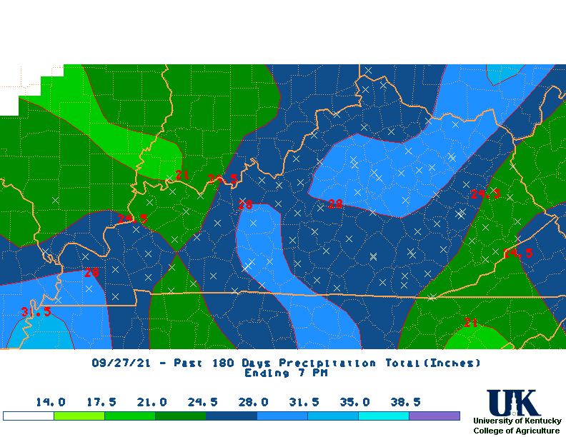
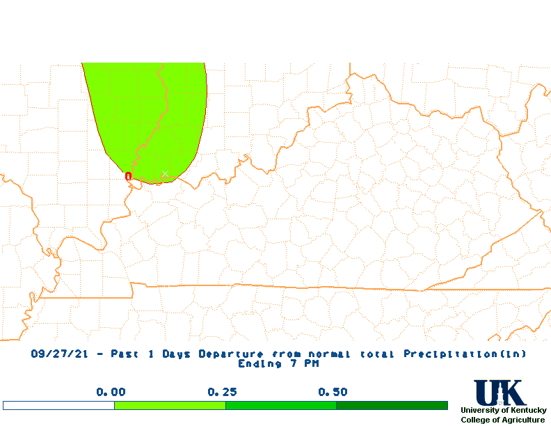
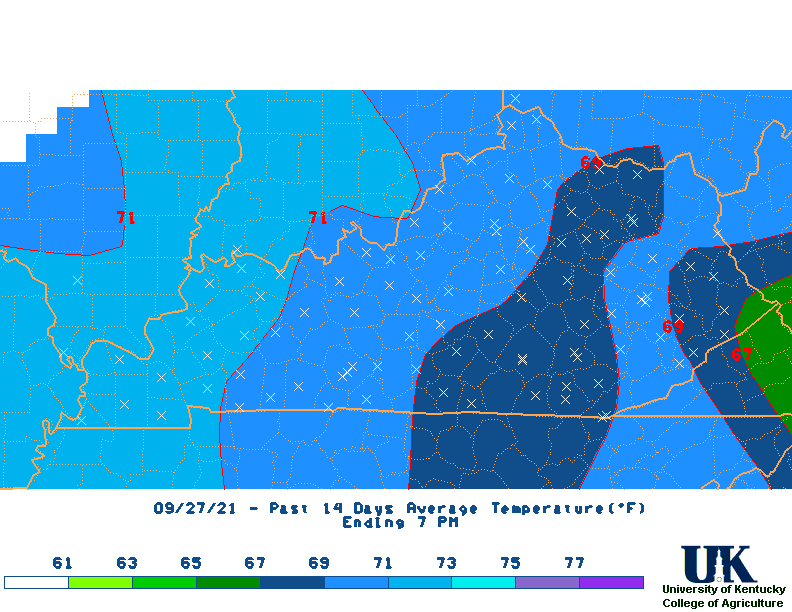
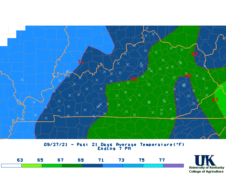
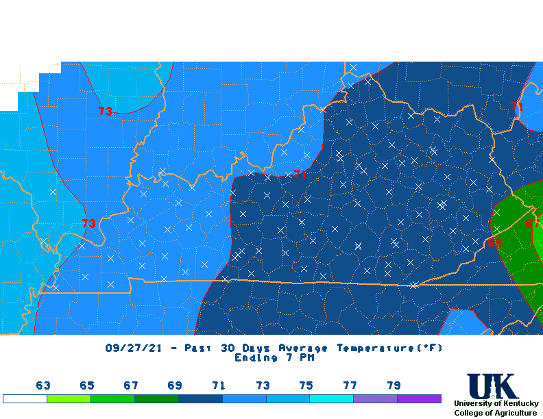
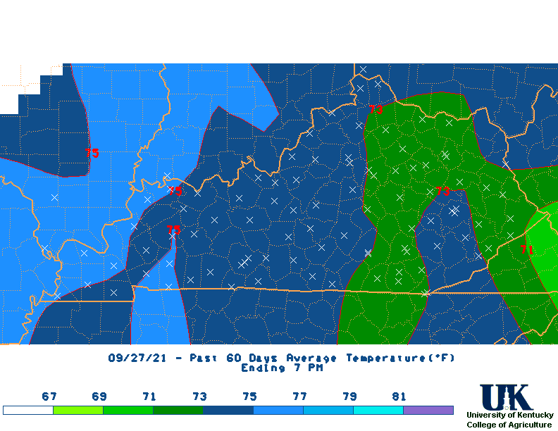
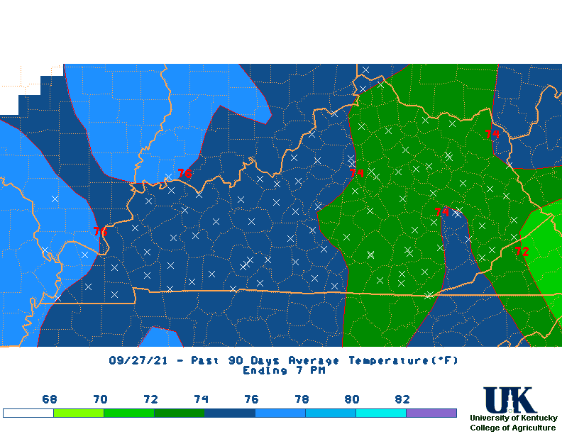
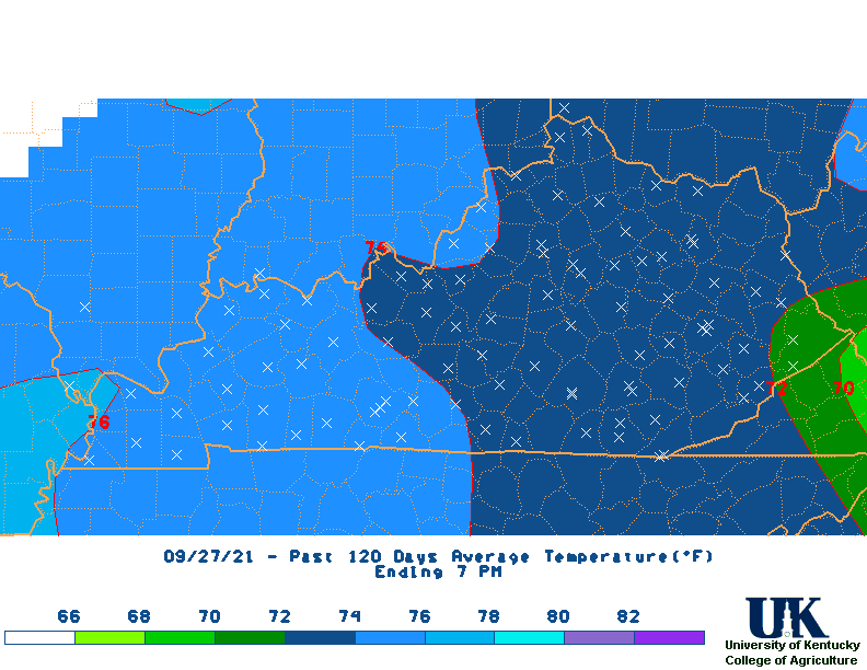
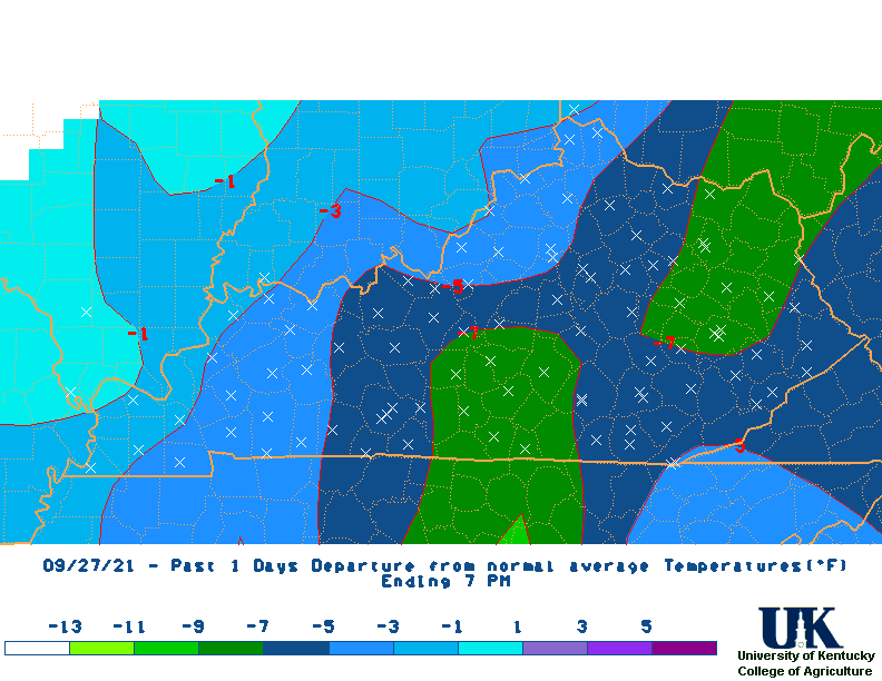
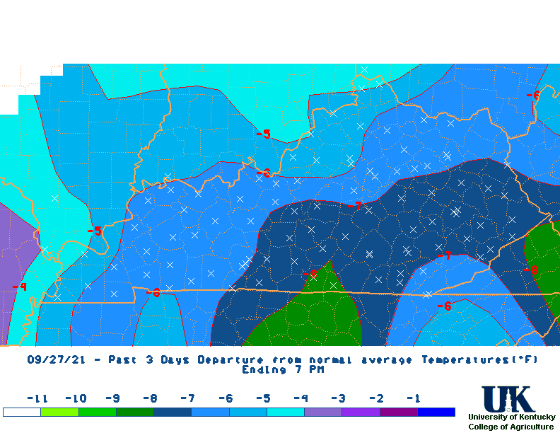
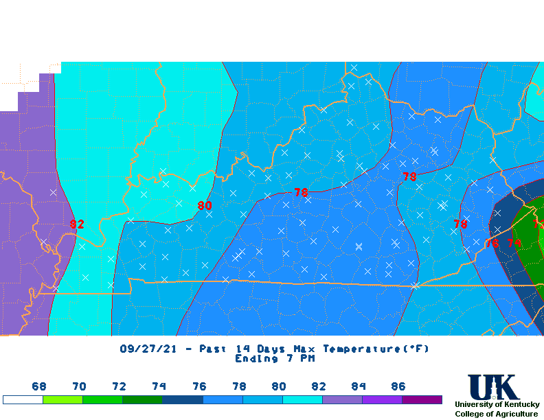
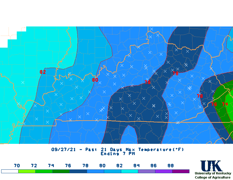
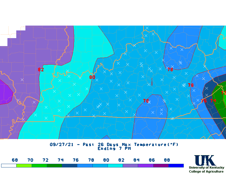
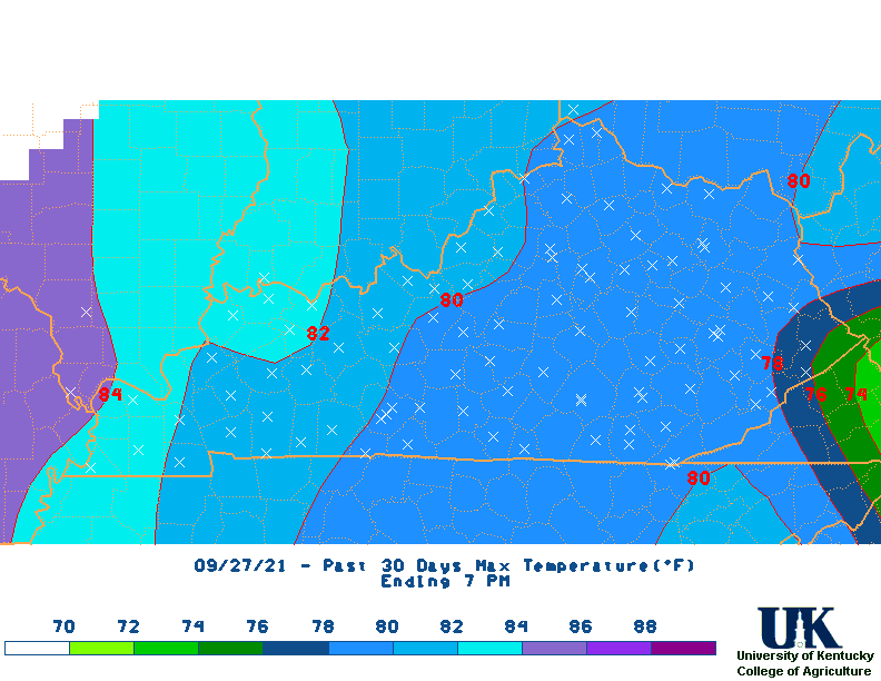
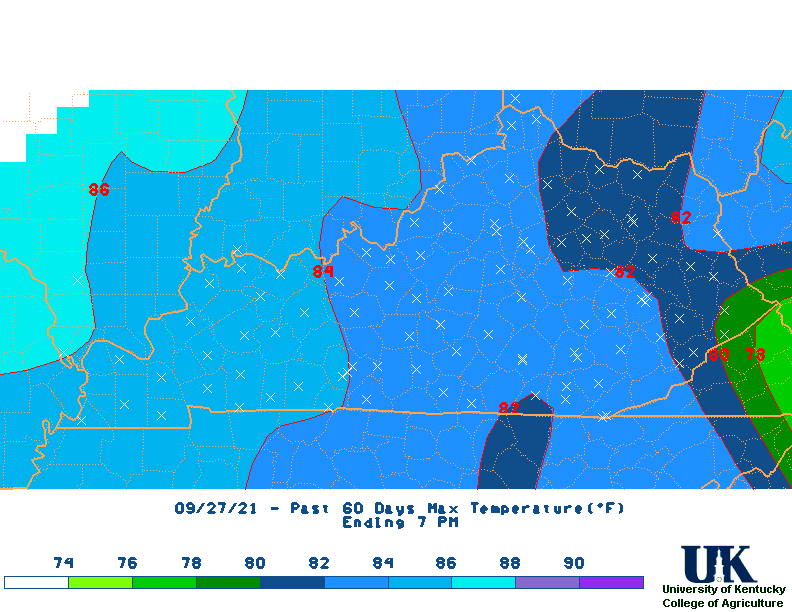
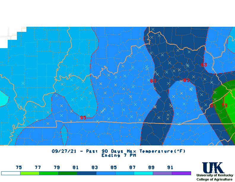
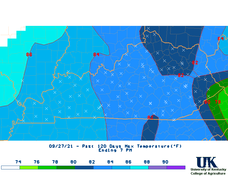
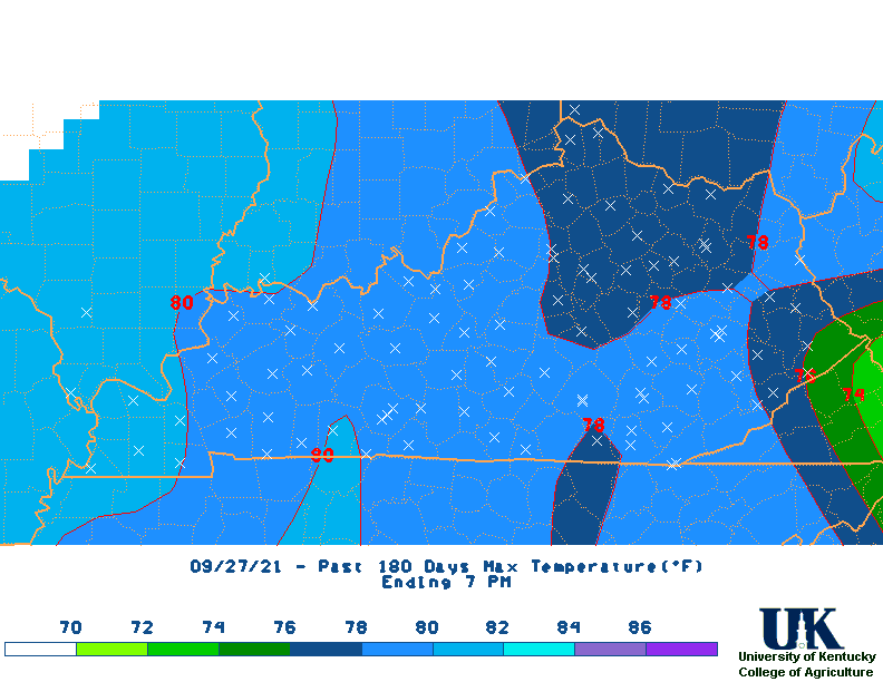
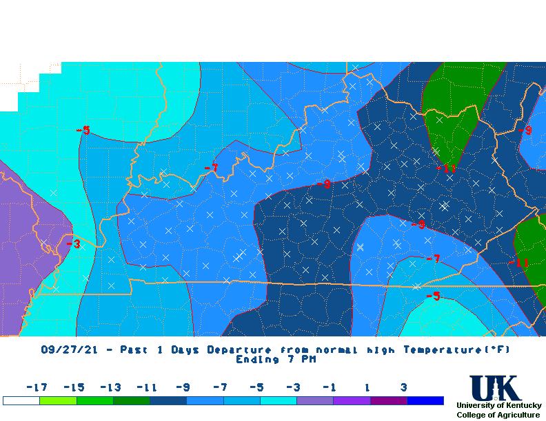
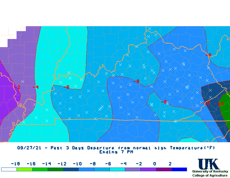
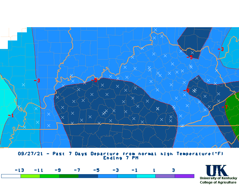
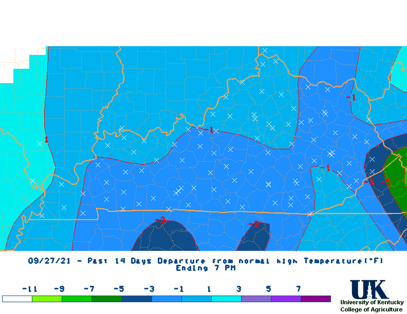
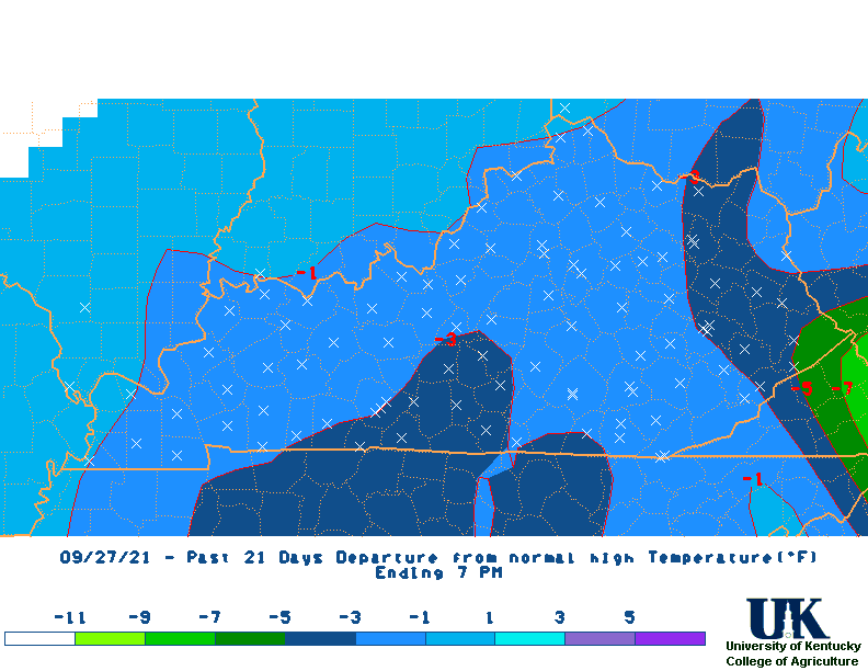
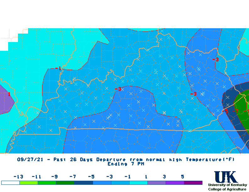
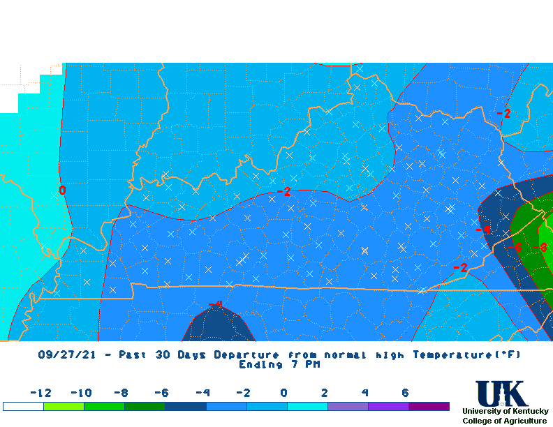
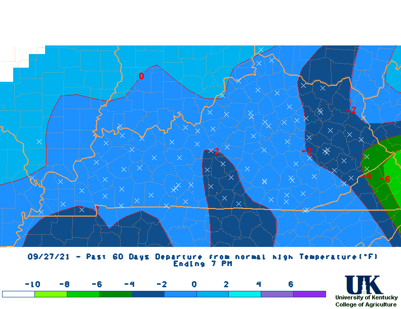
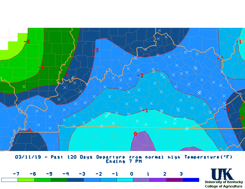
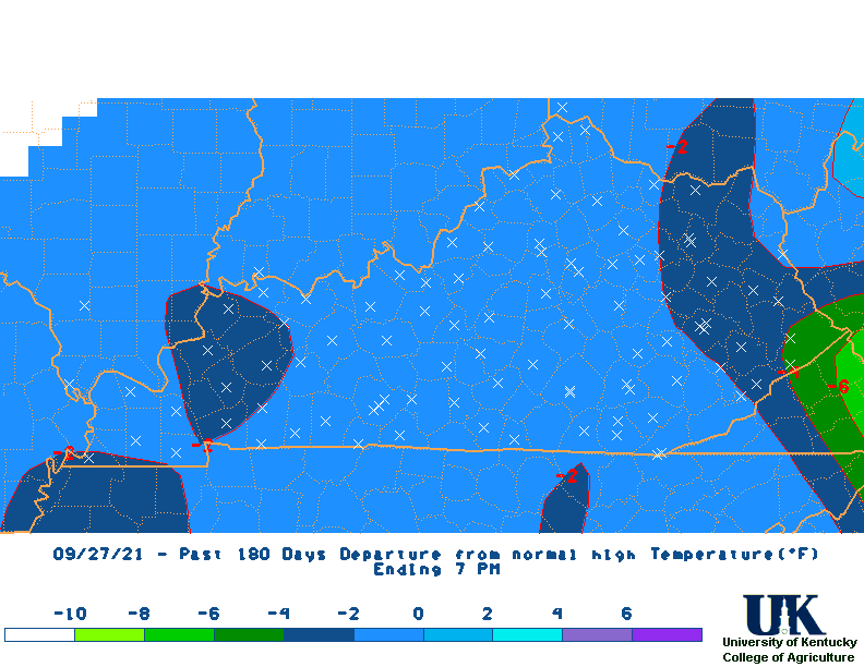
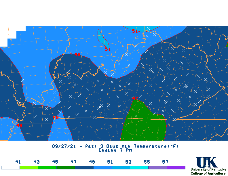
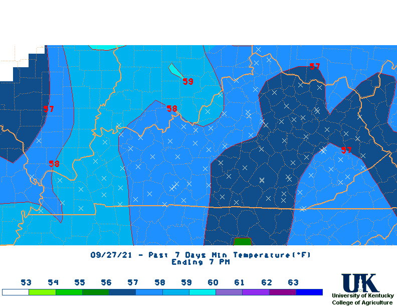
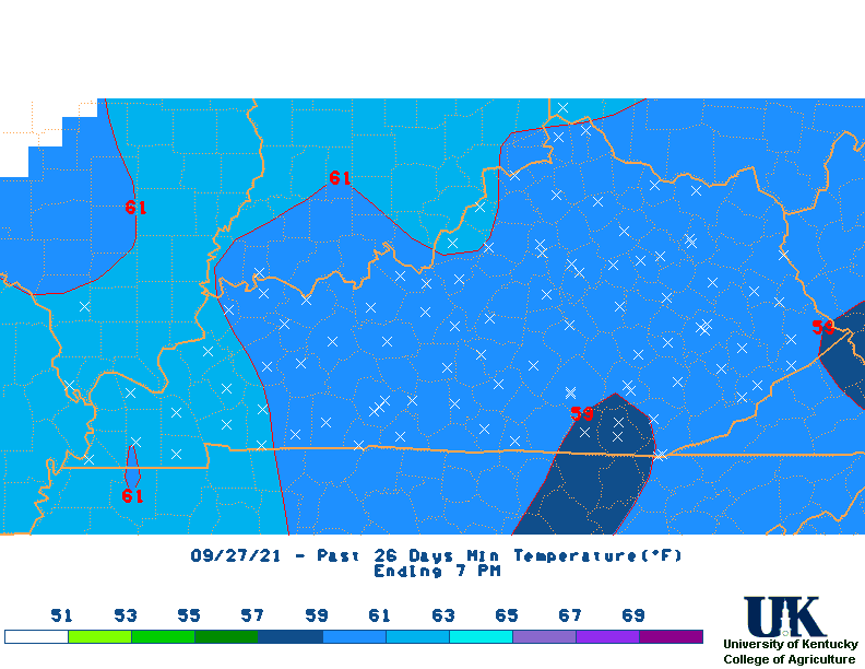
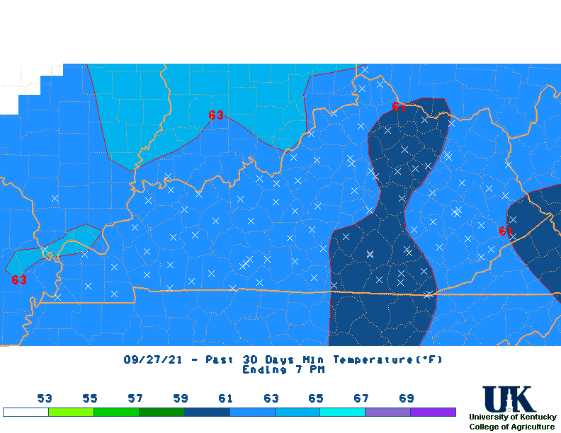
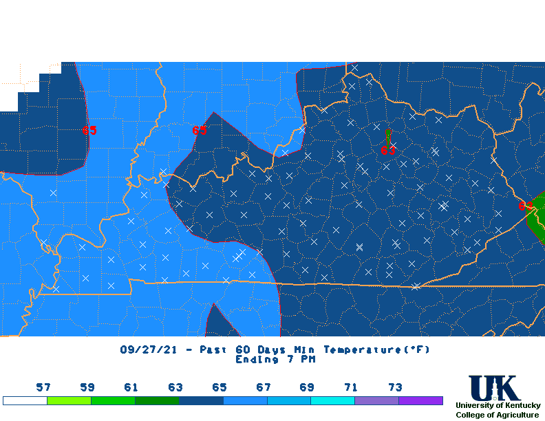
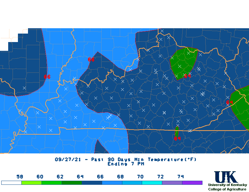
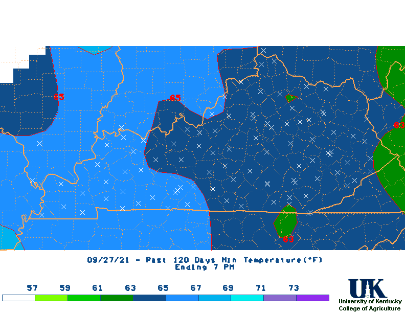
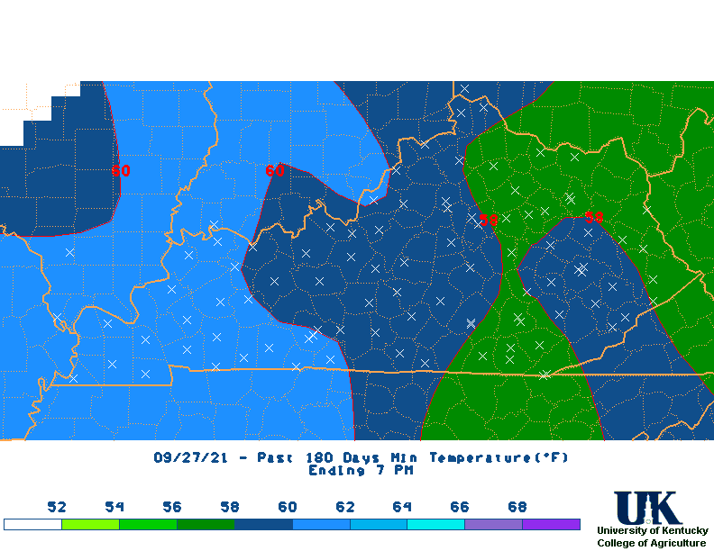
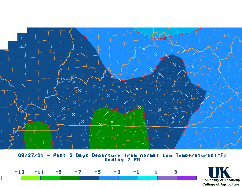
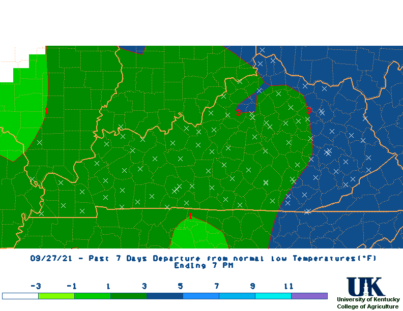
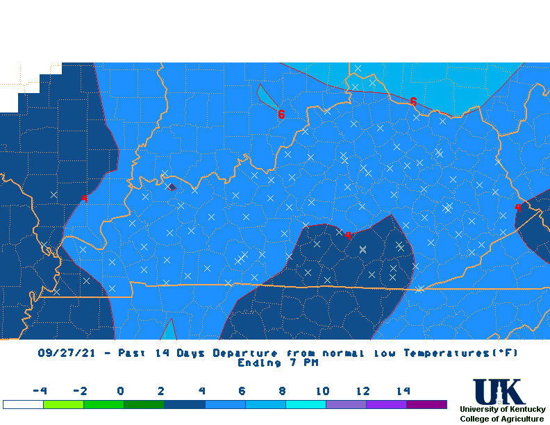
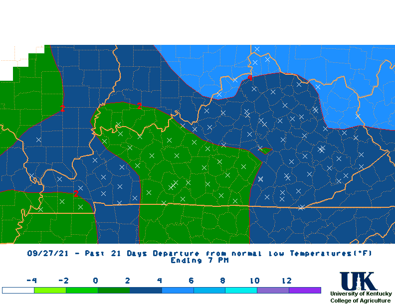
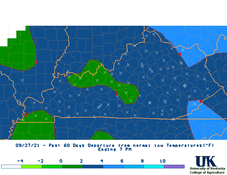
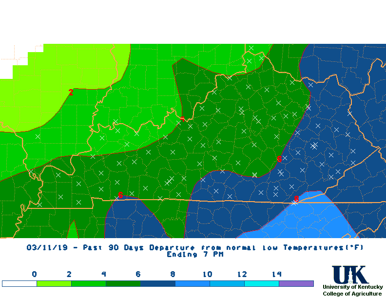
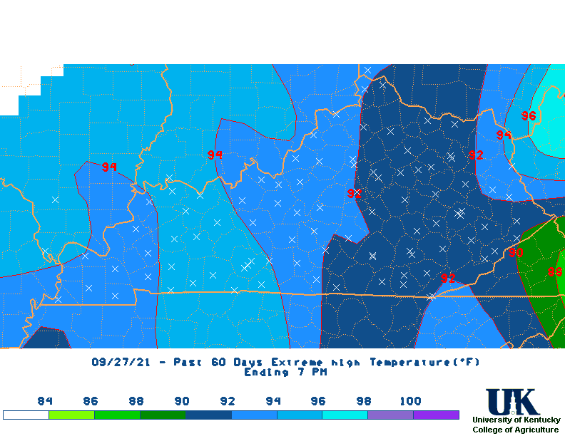
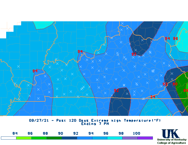
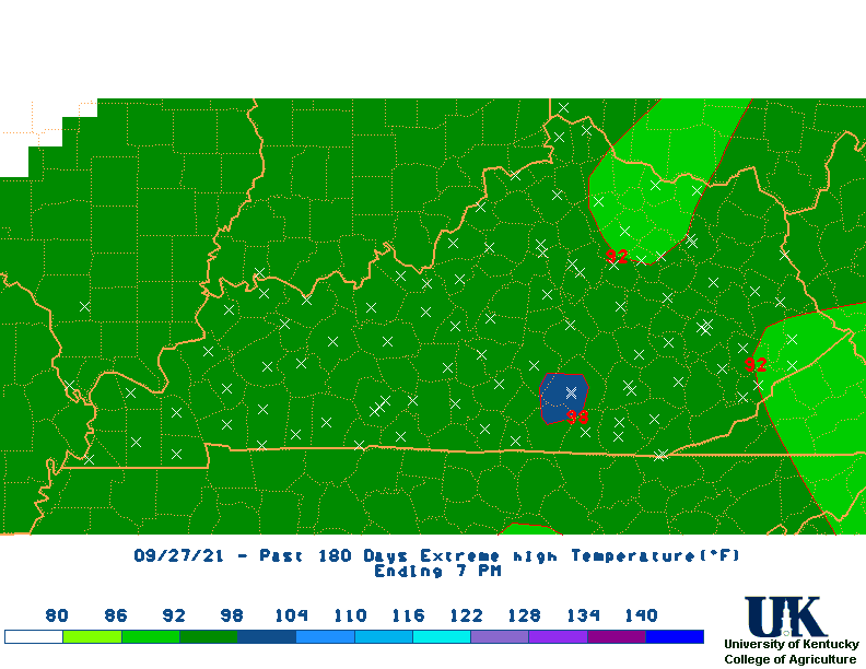
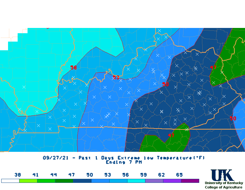
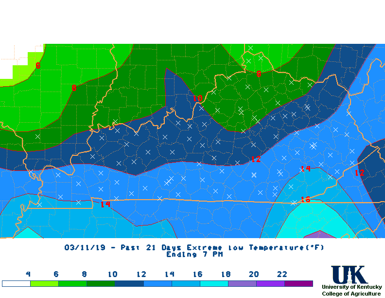
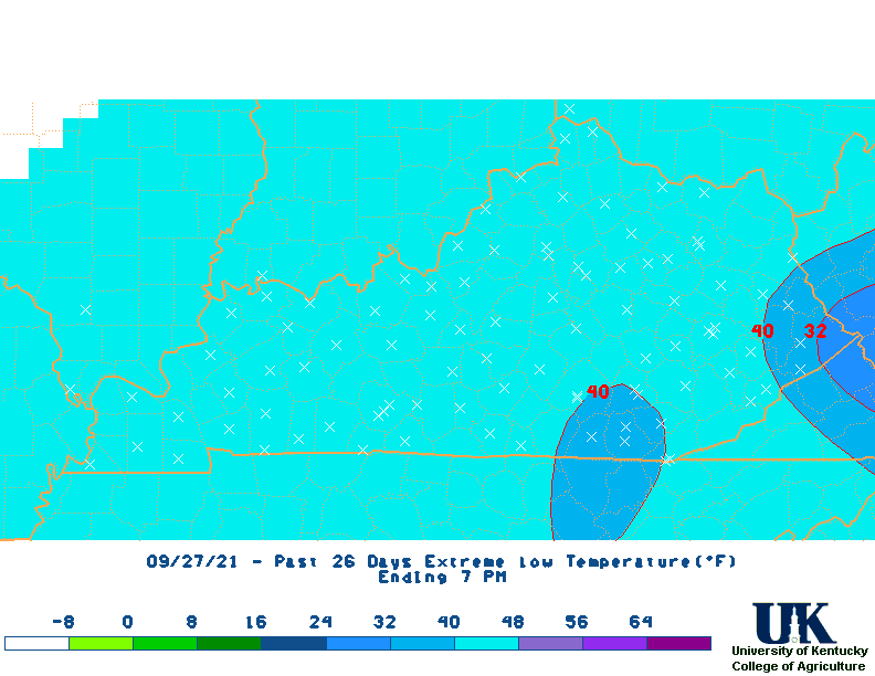
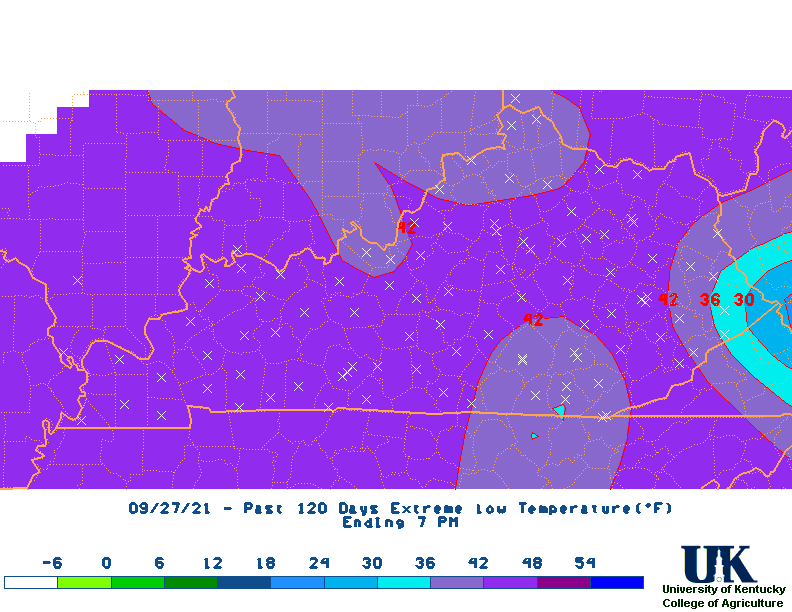
Climate Tables 1 Day 3 7 14 21 M2D* 30 60 90 120 180 Climate Narratives 1 Day 3 7 14 21 M2D 30 60 90 120 180 Rainfall Total Maps 1 Day 3 7 14 21 M2D 30 60 90 120 180 Rainfall Departure Maps 1 Day 3 7 14 21 M2D 30 60 90 120 180 Average Temperature Maps 1 Day 3 7 14 21 M2D 30 60 90 120 180 Average Temperature Departure Maps 1 Day 3 7 14 21 M2D 30 60 90 120 180 Max Temperature Maps 1 Day 3 7 14 21 M2D 30 60 90 120 180 Max Temperature Departure Maps 1 Day 3 7 14 21 M2D 30 60 90 120 180 Min Temperature Maps 1 Day 3 7 14 21 M2D 30 60 90 120 180 Min Temperature Departure Maps 1 Day 3 7 14 21 M2D 30 60 90 120 180 High Max Temperature Maps 1 Day 3 7 14 21 M2D 30 60 90 120 180 Low Min Temperature Maps 1 Day 3 7 14 21 M2D 30 60 90 120 180
* M2D = Month-to-Date


Past 14 days data here, 28 Days here.
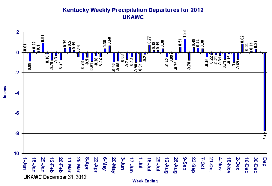
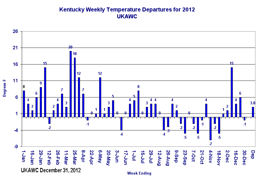
Kentucky Weekly Temperature and Rainfall Departures since Jan. 1 (Click image to enlarge)
KY Weekly Rainfall Departures
KY Weekly Temperature Departures
All Climate ResourcesFrom the Kentucky Crop Calendar:
Monthly Crop Calendar....Click here.
 West: |
 Central: |
 East: |
Short Term Forecast for the Commonwealth:
And here's Kentucky's medium and long range outlook! Click here.
7-Day Weather Forecast:
WEST:


CENTRAL:


EAST:
WEST:
CENTRAL:
EAST:
Click for West, Central or East for the 7-day forecast. Click here if you want to view the Watches/Warnings/Statements..Alt. By county. Click here if you want to view the above forecast!


