Weather & Forecasts
Current Conditions
Forecasts
Satellite Imagery
Radar Imagery
Winter Wx
Fire Weather
Long Range Outlooks
Other
Kentucky Climate
Climatology
Pests/Disease
Ag/Wx Calculators
Hydrology Info.
Other UKAWC Sites
Severe Wx
Tropical Wx
Kentucky Ag Wx
Drought
National Wx
International Wx
Learning About Wx
About UKAWC
UKAWC Home
 |
Tropical Weather |
 Surface Analysis of Tropical Atlantic |
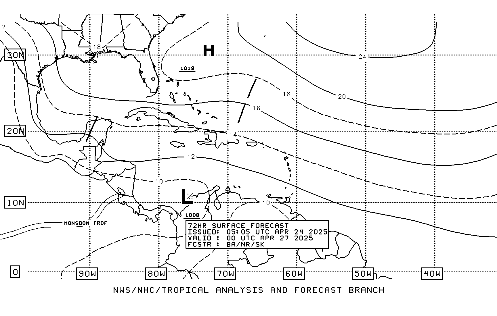
 Surface 72-Hr Forecast Map |
NWS JetStream - Online School for Weather : Study Guide: Tropical Weather (Excellent...for everyone)
![]() COLA:
Max Potential Intensity of Tropical Storms (Worldwide - Updated 00Z)
COLA:
Max Potential Intensity of Tropical Storms (Worldwide - Updated 00Z)
 Tropical Prediction Center:
Possible Tropical Cyclone Area (36-Hr Map)
 National Hurricane Center:
NHC
 NHC:
Atlantic Maps,
East Pacific Maps
 Tropical Weather Discussion:
Atlantic Storms,
Eastern Pacific Storms,
Gulf of Mexico Storms
 Storm Names:
Atlantic Storms,
Eastern Pacific Storms,
World-Wide Storms
 NOAA Real-Time Monitoring of Hurricane Conditions:
Tropical Atlantic ,
Tropical Eastern Pacific
 Satellite:
Atlantic (IR)
 Satellite:
Atlantic and Caribbean Tropical Satellite Imagery
 Surface:
7-Day Atlantic Surface Forecast(Loop)
 Surface:
3-Day Atlantic Surface/Satellite(Loop)
 Satellite:
500 mb Atlantic Forecast(Loop)
 Atlantic Sea-surface temperatures/anomalies:
SST's Analysis
 Current Visual Briefing:
Atlantic,
Pacific
 NOAA:
National Hurricane Center
 NWS:
Ocean Prediction Center
 Air Force:
Hurricane Hunters
 UNISYS:
Hurricane Info.
 Ohio State University:
Tropical Weather Page
 Intellicast:
Tropical Page
 Tropical Storm Archive:
Atlantic Storms,
Eastern Pacific Storms,
Western Pacific Storms
 The Weather Channel:
Saffir-Simpson Scale
 The Weather Channel:
Definitions of Tropical Terms