County, KY Weather And Climate Synopsis


(Click image to zoom) or Click Here

36 Hr. Forecast Map
All Radar images NOAA/UKAWC
All Satellite images NOAA

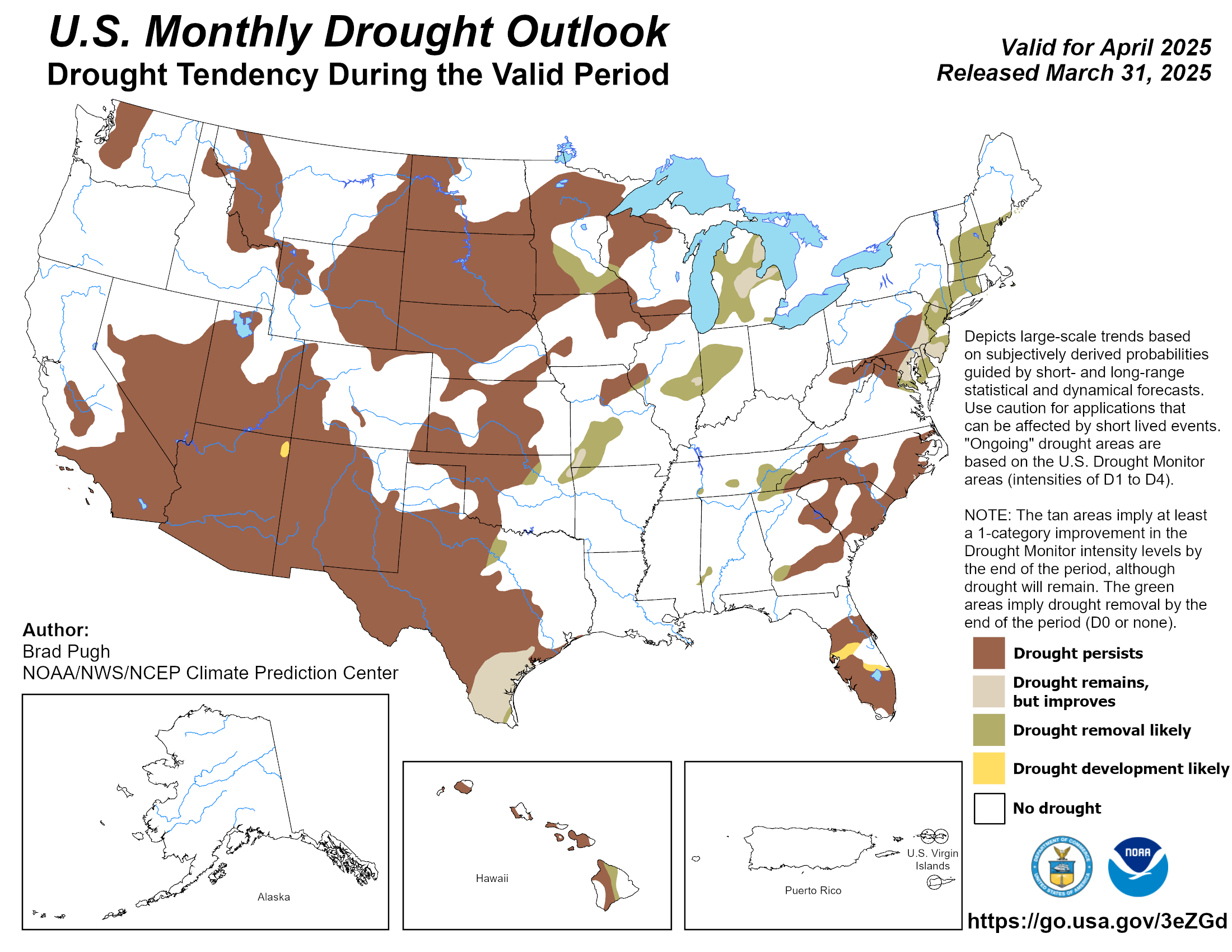
County Hazardous Weather Outlook County Weather for Emergency Managers County Drought Status
Weather Summary County Ag Weather Advisory Hourly Observations Nowcast 7 Day Forecast Medium & Long Range Outlook
Precipitation Report Kentucky Climate Summary GIS Estimates Almanac Precision Ag., Lawn & Garden Forecast Historical Facts


Palmer Drought Index


Crop Moisture Index
Also see:


NWS: Calculated Soil Moisture.
UKAWC: NEW weather pages here...

A joint service of the UK Ag Weather Center and the National Weather Service.


Click here for UKAWC Point Agricultural, Lawn & Garden Forecast/Outlook in case of corrupt tables.
KY Round-up, Current Temperatures, Dewpoint, Rh, Wind, Regional Obs., Station Model, NWS Louisville
Meteograms: Paducah , Evansville , Bowling Green , Hopkinsville , Frankfort , Louisville , Lexington , Covington , Jackson , London , About Meteograms

Current Agriculture, Lawn & Garden Weather Conditions in Kentucky
Based on observations at 800pm EST, Thursday January 09, 2025

Across Kentucky...temperatures are near 31 degrees west, near 19 degrees central, and near 18 degrees east. Current sky conditions are mostly cloudy west, partly cloudy central, and clear east. In the west, relative humidity is near 69%, and the dew point is near 22 degrees. In the central part of the state, relative humidity is near 77%, and the dew point is near 13 degrees. In the east, relative humidity is near 84%, and the dew point is near 14 degrees. Current drying conditions are fair west, fair central, and poor east. Tobacco stripping conditions are marginal west, marginal central, and favorable east. Winds are calm west, where conditions are favorable for spraying. Winds are calm central, where conditions are favorable for spraying. Winds are from the northeast at 3 mph east, where conditions are favorable for spraying. The livestock cold stress index is in the no stress category west, no stress category central, and no stress category east. Based on current available observations, the highest temperature is 31 degrees at Paducah and Hopkinsville. The lowest temperature is 15 degrees at Frankfort.

List of Agriculture, Lawn & Garden Weather Observations in Kentucky


Radar:
NWS Radar (NEW!), Bowling Green, KY Regional Radar,
Hazardous Weather Outlook For County
Hazardous report currently not available
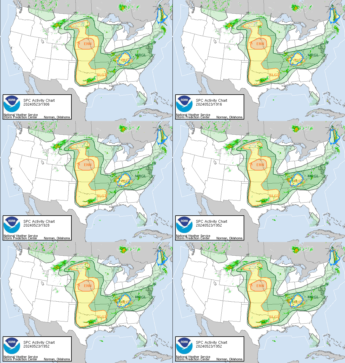
NWS Severe Weather Map , Convective Outlook

Current FORECAST not available Day 1 Precip, Day 2, 5 Day Total, Days 1-5, ALL

Medium & Long Range Outlook For County, Kentucky
                             KENTUCKY                                                                     
                 ---------------------------------------------
                 6 TO 10 DAY  8 TO 14 DAY   30 DAY    90 DAY 
                   JAN 15-19    JAN 17-23    JUN       JUN-AUG                      
                 -----------  -----------  --------  ---------
   Temperature:      Below        Below                                            
 Precipitation:      Above        Above                                            

....  Medium and long range outlooks provided by NCEP/K. Thomas Priddy
TWC Jet, 15-Day Jet,Trend, Max/Mins
6 to 10 Day , 8 to 14 Day , Text, 30-Day Outook, 90-Day Outook, 120-Day Outlook

Additional Drought Info.: UKAWC Drought Page

Kentucky Climate Summary
For the Period 01-02-2025 to 01-08-2025

Temperatures for the period averaged 28 degrees across the state which was 7 degrees cooler than normal and 20 degrees cooler than the previous period. High temperatures averaged from 34 in the West to 33 in the East. Departure from normal high temperatures ranged from 10 degrees cooler than normal in the West to 11 degrees cooler than normal in the East. Low temperatures averaged from 26 degrees in the West to 23 degrees in the East. Departure from normal low temperature ranged from 1 degrees cooler than normal in the West to 2 degrees cooler than normal in the East. The extreme high temperature for the period was 51 degrees at SCOTTSVILLE 2W and the extreme low was 5 degrees at VANCEBURG 6W.

Precipitation (liq. equ.) for the period totaled 1.28 inches statewide which was 0.41 inches above normal and 147% of normal. Precipitation totals by climate division, West 1.44 inches, Central 1.45 inches, Bluegrass 1.13 inches and East 1.09 inches, which was 0.57, 0.52, 0.31 and 0.22 inches above normal. By station, precipitation totals ranged from a low of 0.05 inches at MONTICELLO AWOS to a high of 2.34 inches at STANFORD 4NE.

Kentucky Climate Summaries: Last day, Last 3 days, 7 days, 14, 21, 30, 60, 90 days
Yesterday's Weather Data, Kentucky Climate in Review


Almanac Information
Sunrise/Sunset/Moonrise/Moonset Computation (USN)
What the Moon looks like right now (USN)

On This Day In

Weather History...


JANUARY 9TH
HISTORICAL WEATHER FACTS
...1875...
The temperature at Cheyenne WY dipped to an all-time record cold reading of -38 
degrees. (The Weather Channel) ALSO... Record cold gripped Kentucky, with 
readings of -8 at Lexington and -10 at Louisville.
...1888...
Severe cold gripped much of the western U.S. At Portland OR the Columbia
River was frozen for two weeks, and in southern California temperatures
dipped below freezing in some of the citrus growing areas. (David Ludlum)
...1976...
Lake effect snow squalls buried the town of Adams NY under 68 inches of
snow. (David Ludlum)
...1978...
Beginning today, sections of Kentucky had at least half an inch of snow on the 
ground for 49 consecutive days (through February 26), a record. (NWS)
...1987...
A winter storm spread heavy snow from the Central Plains into the Great
Lakes Region. Heavier totals included 9 inches at Sun City KS, 7 inches at
Columbia MO, 11 inches at Terre Haute IN, and up to 10 inches in the
southern suburbs of Chicago IL. (National Weather Summary) (Storm Data)
...1988...
A storm in the northeastern U.S. produced ten inches of snow at Boston MA,
and 14 inches at Worcester MA. A winter storm in the northwestern U.S.
produced a foot of snow in three hours at McCall ID. (National Weather
Summary) (Storm Data)
...1989...
Strong winds prevailed along the eastern slopes of the Rockies in Colorado.
Winds gusted to 113 mph at the Air Force Academy near Colorado Springs, and
reached 115 mph at Boulder. (National Weather Summary) (Storm Data)
...1990...
A third storm in four days hit the Pacific Northwest. Winds in Oregon
gusted above 100 mph at Netarts and at Oceanside. Up to 8.16 inches of rain
was reported around Seaside OR, and the total of 4.53 inches of rain at
Astoria OR was a record for the date. Twelve cities in the western U.S.
reported record high temperatures for the date. The high of 70 degrees at
Cedar City UT was a record for January. (National Weather Summary) (Storm
Data)
...1998...
Flash flooding plagued many counties across Eastern Kentucky.  Powell and Knox 
counties were hardest it...with several roads in both counties closed due to 
high water.   In Whitley county...route 26 was flooded and impassable.
(NWS Jackson KY)
UKAWC Briefing Page

Ag Weather Center, Department of Biosystems & Agricultural Engineering, University of Kentucky