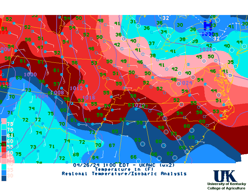
Severe weather on the table
After a brief cool down for the latter half of the weekend, temperatures go on the uphill climb next week. Outlooks hint the warm air will hang around the area through the third full week of December. Any additional rain chances look to hold off until late workweek. Mouseover to pause! Click here to zoom!
Mouseover to pause! 637 ASUS43 KLMK 251710 RWRKY KENTUCKY REGIONAL WEATHER ROUNDUP NATIONAL WEATHER SERVICE LOUISVILLE KY 100 PM EDT THU APR 25 2024 NOTE "FAIR" INDICATES FEW OR NO CLOUDS BELOW 12,000 FEET WITH NO SIGNIFICANT WEATHER AND/OR OBSTRUCTIONS TO VISIBILITY. KYZ001>023-026-027-061>063-070>075-251800- WESTERN AND SOUTH CENTRAL KENTUCKY CITY SKY/WX TMP DP RH WIND PRES REMARKS PADUCAH MOSUNNY 65 40 39 E9 30.22F HENDERSON SUNNY 58 38 47 VRB7 30.27F OWENSBORO SUNNY 61 36 39 S7 30.27S HOPKINSVILLE SUNNY 65 42 43 E6 30.20F BOWLING GREEN SUNNY 66 43 43 NE9 30.24F GLASGOW SUNNY 62 44 50 CALM 30.24F $$ KYZ024-025-028>034-038-045-046-053-251800- NORTH CENTRAL KENTUCKY CITY SKY/WX TMP DP RH WIND PRES REMARKS LOUISVILLE/SDF SUNNY 57 36 45 E3 30.28F LOUISVILLE/LOU SUNNY 55 39 54 MISG 30.28F FORT KNOX SUNNY 58 36 43 CALM 30.24F $$ KYZ035>037-039>044-047>052-055>060-089>105-251800- NORTHEAST KENTUCKY CITY SKY/WX TMP DP RH WIND PRES REMARKS LEXINGTON SUNNY 56 40 55 MISG 30.29S COVINGTON SUNNY 52 34 50 VRB6 30.29F FRANKFORT SUNNY 55 37 50 NE6 30.28F $$ KYZ054-064>069-076>088-106>120-251800- SOUTHEAST KENTUCKY CITY SKY/WX TMP DP RH WIND PRES REMARKS JACKSON SUNNY 59 41 51 CALM 30.24F LONDON SUNNY 63 38 39 VRB3 30.23F SOMERSET SUNNY 64 41 42 VRB5 30.22F MIDDLESBORO SUNNY 67 43 41 CALM 30.21F MONTICELLO SUNNY 62 46 55 E5 30.25F $$ Mouseover to pause! Click here to zoom!